
.png)
Photo by Bev Scott
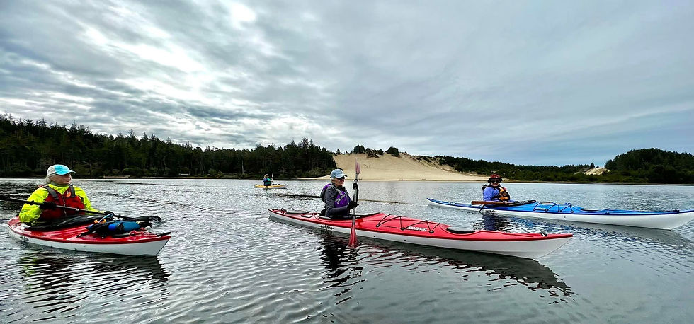
Cleawox Lake
Cleawox Lake
Cleawox Lake is accessed through Jessie M. Honeyman State Park, about three miles south of the Siuslaw River bridge. The lake appears fairly small (about 87 acres) but an arm adjacent to the Girl Scout Camp Cleawox (operating since the early 1930s) extends through the dunes north of the State Park. The lake was formed before the last ice age when small coastal streams and melting glaciers were dammed by the emerging sand dunes. The water is fairly clear and with an average depth of 17 feet it warms in the summer to around 70 degrees. Beaver, otter, osprey, blue herons and bald eagles and a variety of fish live in and around the lake. The area was surveyed in 1857 by Harvey Gordon who wrote down the Siuslaw (Sha’yuushtl’a) names as he heard them from local Natives and put his version of them on early maps but failed to record the meaning of the names, which have mostly been lost to history.
Cleawox Lake Launch Sites
For expanded details on our launch sites, click the link or hover over the box below and click the image to visit Super Water Trails (SWT). While our "Map and Launch Sites" tab provides basic locations, SWT offers deeper insights into whether the site is open, launch type, tidal, cellular signal availability, fee, if a pass is accepted, and amenities.
Registration is required to access the platform. SWT was developed by FOAK member Annette Chihorek and is free to use, though some premium features are available for a fee.
There are three launch sites at Cleawox Lake:


Photos by Bev Scott
Cleawox Lake
Paddle Videos: Cleawox Lake
Included are two videos by FOAK member Bev Scott. One video is during the winter season and the other is during the summer season.
1. This video is from a FOAK group paddle (4.1 miles) on Cleawox Lake on January 1, 2023.

2. This video is from a FOAK group paddle (5.2 miles) on Cleawox Lake on August 13, 2023.

